
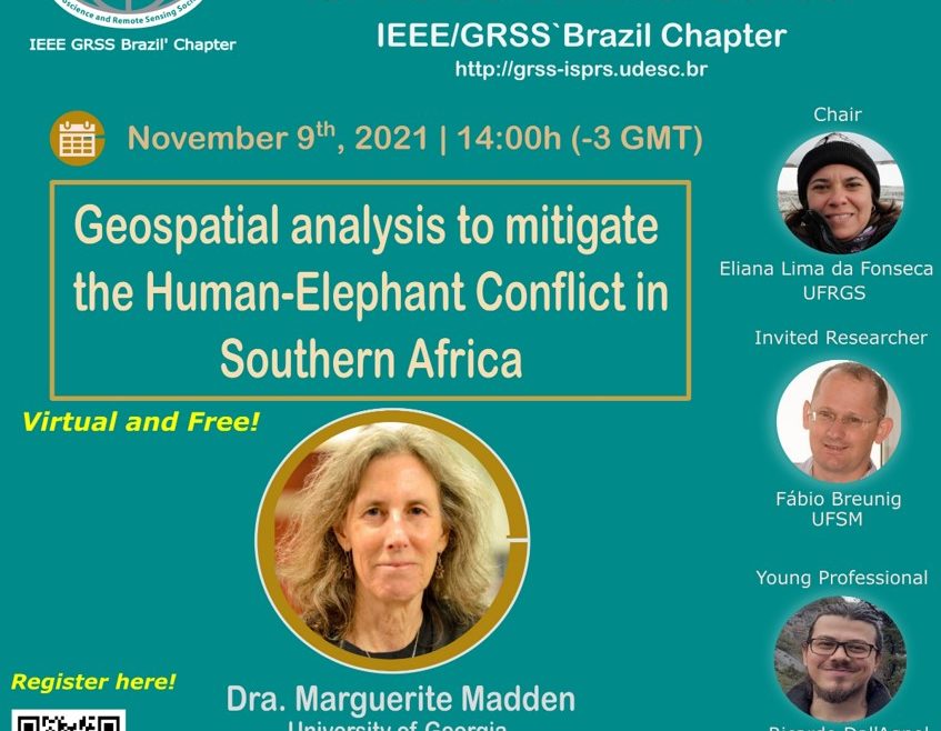
Geospatial analysis to mitigate the Human-Elephant conflict in Southern Africa (held in English)
https://educationweek.ieee.org/wp-content/uploads/events/event-288972.jpg
847
876
ieeeeduweek
https://secure.gravatar.com/avatar/cd5d0dea68aa71342bc8e4579c90502d?s=96&d=mm&r=g
Summary: this talk will emphasize on the potential of GIS and remote sensing in the geospatial analysis to mitigate the Human-Elephant conflict in Southern Africa.