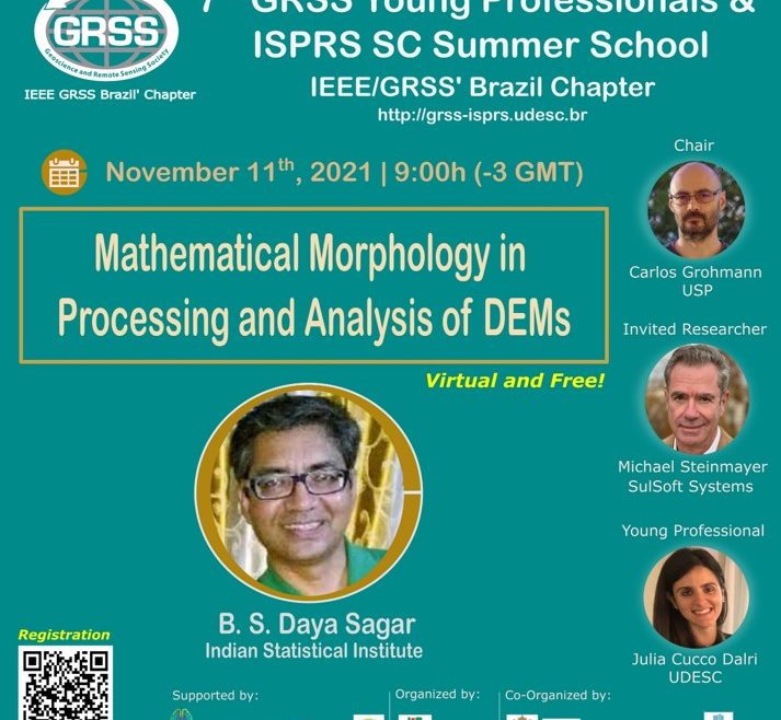
Summary: DEM users are often unaware of the technicalities of the model’s generation, provenance, and error characteristics. This information is often not available or unfamiliar. For example, the SRTM DEM measures the electrical height of the surface as seen by the radar, not the ground or canopy top measured by other techniques. In addition, DEM analysis tools are often used without a deep understanding of the methods employed. As a case in point, the methods described in this talk were developed by specialists and require some dedication to understand and apply properly. For geoscientists, it is a challenge of the utmost importance to decipher the geometric, topologic, and morphologic relevance data concealed by DEMs, and the geoscientist cannot expect the algorithm developer approaching the analysis from a mathematical perspective to provide a solution for any DEM or geographical context. Therefore, it is imperative that geoscientists have some facility with the theory, algorithm development, and computer code generation to collaborate with and guide the specialists in their sophisticated endeavors.


